
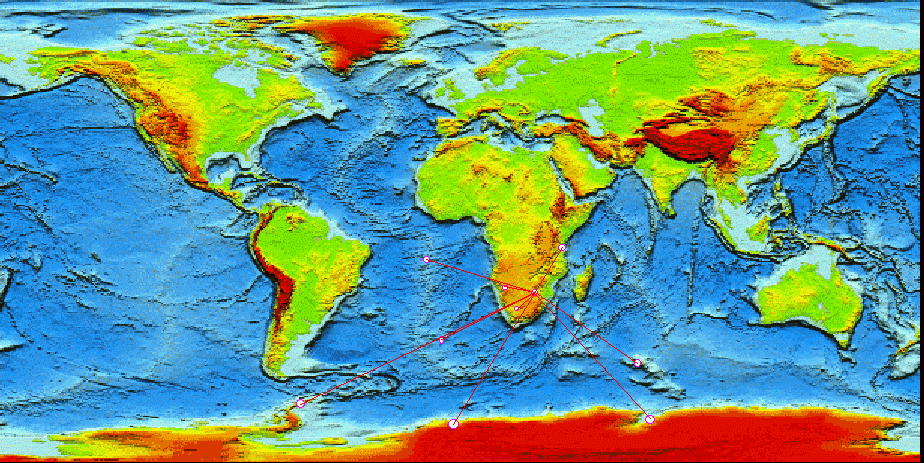
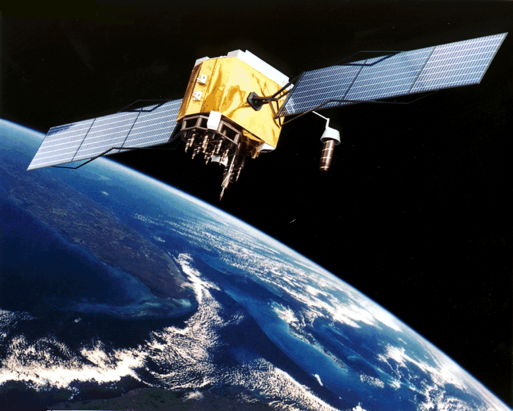

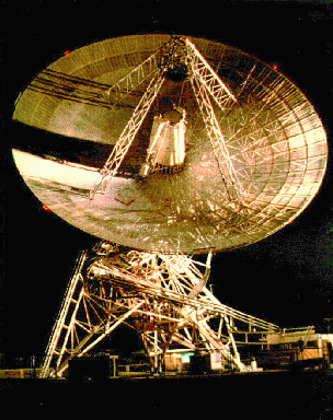
This topo map is adapted from NASA GSFC. The map depicts the regional GPS network which is processed by HartRAO for crustal dynamics studies. The GPS satellite (Block IIF) image is borrowed from the USAF and the laser system image is from SGAPO (Space Geodesy and Altimetry Projects Office). The HartRAO 26 m antenna is shown illuminated by floodlights.
Welcome to the home page for the Space Geodesy Programme of the
Hartebeesthoek Radio Astronomy Observatory (HartRAO) located North of Johannesburg in South Africa.
The Space Geodesy Programme participates in global networks which
uses applications of Very Long Baseline Interferometry (VLBI) and the Global Positioning
System (GPS) to do research in geodesy. HartRAO is an IGS Regional Data
Center, ( Useful utilities from SOPAC (written by Matthijs van Domselaar)
http://www.hartrao.ac.za/geodesy/geodesy_index.html
This page last updated: 20 April 1999
HartRAO has installed 2 International GPS Service (IGS) GPS stations. SUTH is located
at the site of the South African Astronomical Observatory (SAAO) which is about 20 km from Sutherland, a
small town in a semi-desert region called the Karoo. HRAO has been
installed at HartRAO. Both stations are proper geodetic installations and
meet the requirements of the IGS. The data from these stations are available
on the internet or can be accessed from this site from a local workstation.
The equipment is owned by the Jet Propulsion Laboratory (JPL). A third station (NAMI) was installed
in Windhoek, Namibia during November 1998 and will become an IGS station
later in 1999.
The Space Geodesy Programme currently participates in the following projects:
The programme is also engaged in the following geodetic research, utilising
GPS:
Index
GPS Data Sets, Products
& IGS log files
ITRF96 Coordinates
(GPS)
Plate Tectonics
GPS
GPS Timeseries
VLBI Timeseries
Regional Network Map
View recent publications
Related links
SOPAC Date Converter
SOPAC Locate GPS Station
SOPAC Velocity Maps
SOPAC Site Coordinates
Produced by Ludwig Combrinck 19/02/99,
e-mail: ludwig@ludwig.hartrao.ac.za
since 19 February 1999